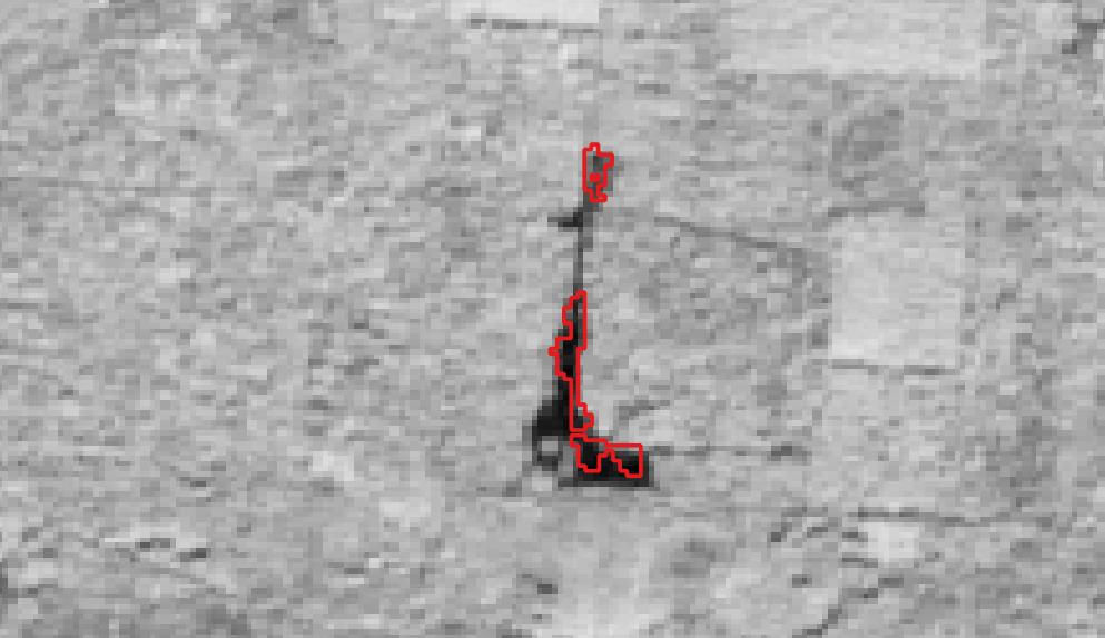
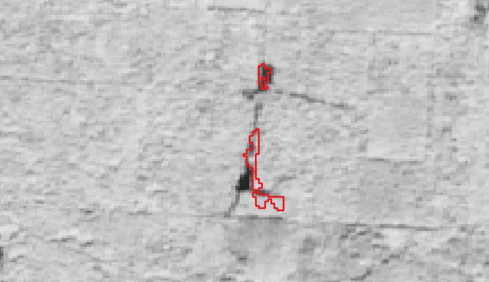
この地域では2023年頃から、林地開発が進められていたようです。
2024年衛星写真
2024年10月13日撮影の、正規化植生指数画像
(植物の健康状態を表し、伐採場所は黒くなる)
2023年衛星写真
2023年9月14日撮影
2022年衛星写真
2022年9月9日撮影
Satellite images contain modified Copernicus Sentinel data [2025], processed by Forest Tags.